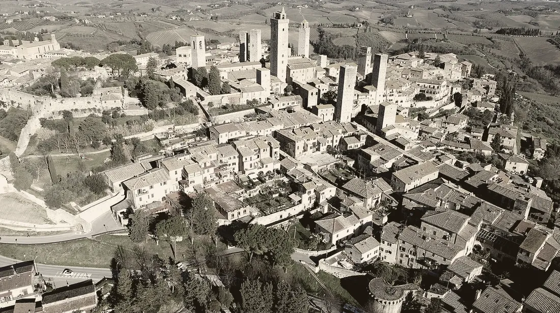
San Gimignano · Alerove, CC BY-SA 4.0
San Gimignano · Alerove, CC BY-SA 4.0
Three towns within half an hour of each other. If you change your mind it costs twenty minutes, not two hours.
The way I would drive it
Map data © OpenStreetMap contributors, route computed by OSRM
Pick a kind and you see all of it at once, across the whole week. From here a thing goes into a day.
Drive times and distances: taken on 1 October 2026 from OSRM, the open-source route planner that uses the OpenStreetMap road network. They are guide figures for a clear road, and depending on which way you drive, it can take a few minutes longer. Google often works it out a little differently.
Coordinates: OpenStreetMap Nominatim, 25 September 2026. San Gimignano, Castellina and Panzano had been entered by hand, and on 1 October 2026 Nominatim returned exactly the same points for all three. For the Caseificio Cugusi, the GPS position it publishes itself, read on 1 October 2026.
Sunrise 07:28, sunset 18:34, end of civil twilight 19:01 CEST, for 15 October 2026 at Poggibonsi: api.sunrise-sunset.org, which returns UTC, converted to local time here. Central European Summer Time ends on 25 October 2026: after that the sun sets an hour earlier by the clock, 17:12 on 29 October where summer time would have read 18:12. The light does not disappear, the clock moves.
San Gimignano ZTL: the camera-enforced restricted zone has been live with fines since 1 May 2026, under Deliberazione di Giunta n. 42 of 12 March 2026. Comune di San Gimignano, car parks.
Photographs, treated as one duotone set, each verified to show the place it is captioned with:
San Gimignano: Veduta aerea San Gimignano.jpg, Alerove, CC BY-SA 4.0, no geotag, identified by the tower cluster. The treated version is a derivative work under the same licence.
One candidate was rejected during selection: a Commons file titled "Aerial panorama of San Gimignano" is geotagged 300 m from Volterra, 17 km from the place in its title.
